Previsão e Seguimento Tufões (Pacífico Oeste 2018)

rokleon

Nimbostratus
Registo
2 Abr 2016
Mensagens
596
Local
Esmoriz
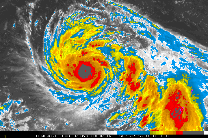
Category 2 Mangkhut May be a Top-Ten Costliest Typhoon for China

Typhoon Mangkhut sends debris flying as it approaches Hong Kong

Fierce winds have already torn off roofs, smashed windows and downed trees in Hong Kong, as authorities warned of the threat of storm surges and flooding from torrential rain. The city is almost entirely shut down.
Mangkhut was recorded packing sustained winds of 173 kilometers per hour (107 miles per hour) and guests up to 223 kilometers per hour (138 miles per hour) as the storm's eye passed south of the territory in the early afternoon, according to the HKO.
Ventos sustentados: 173 km/h e rajadas até 223 km/h. (Hong Kong)


typh_muti_prob_pb4_large_1822_2018091600.gif


Maria Papoila

Nimbostratus
Registo
27 Set 2011
Mensagens
1,025
Local
Ericeira
No Campus Universitário as árvores todas no chão mas nem um vidro se partiu. Todavia, apesar da segurança dos edifícios sentia-se corrente de ar pelos corredores e o som lá fora era aterrador. Houve falhas de luz apenas muito pontualmente e por pouco tempo. Apesar dos alunos terem abastecido os frigoríficos do quarto foram sempre servidas as refeições nas cantinas das residências.

Cá vai uma foto tirada esta manhã na Universidade de Macau.O Imgur está muito picuinhas e por isso não consigo postar as outras.

YanmoBl.jpg
 
Última edição:

luismeteo3

Furacão
Registo
14 Dez 2015
Mensagens
17,112
Local
Fatima (320m)
Japan Meteorological Agency
Tropical Cyclone Advisory #17 - 3:00 AM JST September 23 2018
TYPHOON TRAMI (T1824)
==============================================================
Sea East of the Philippines

At 18:00 PM UTC, Typhoon Trami (975 hPa) located at 17.1N 136.2E has 10 minute sustained winds of 65 knots with gusts of 95 knots. The cyclone is reported as moving west at 15 knots.

Storm Force Winds
====================
45 NM from the center

Gale Force Winds
=================
210 NM from the center in northeastern quadrant
120 NM from the center in southwestern quadrant

Dvorak Intensity: T4.0

Forecast and Intensity
========================
24 HRS: 18.3N 132.5E - 85 knots (CAT 4/Very Strong Typhoon) Sea East of the Philippines
48 HRS: 19.5N 129.7E - 100 knots (CAT 4/Very Strong Typhoon) Sea East of the Philippines
72 HRS: 20.1N 128.7E - 105 knots (CAT 5/Intense Typhoon) Sea South of Okinawa

b15d6edf81372daac02d1e96d83d255b36d3164f0cb64fa109194bec36a14ddf.gif
 

Aspvl

Nimbostratus
Registo
31 Dez 2009
Mensagens
505
Local
Lisboa, Arronches
Pelo que estive a ver o ECMWF está a modelar um tufão «pouco» agressivo e com trajectória a preocupar principalmente as Filipinas e Taiwan. Já o GFS modela um tufão bastante violento e com trajectória a divergir para Norte, afectando o Japão.

GFS


ECMWF (à mesma hora)