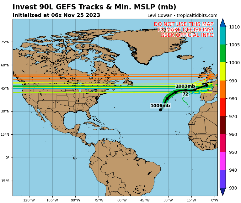
Invest 97L
Probabilidade elevada (90%) de formação de ciclone tropical nas próximas 48h-120h
Daqui a pouco (+-15h UTC) será a DT TEN.
Invest 97L
Probabilidade elevada (90%) de formação de ciclone tropical nas próximas 48h-120h

1. A tropical wave is forecast to move off of the west coast of Africa
on Thursday. Some gradual development will be possible over the
weekend while the system moves generally westward at 10 to 15 mph.
* Formation chance through 48 hours...low...near 0 percent.
* Formation chance through 5 days...low...20 percent.
2 Invest no Atlântico neste momento: 97L e 98L.

Invest 97L
Probabilidade elevada (90%) de formação de ciclone tropical nas próximas 48h-120h
14h15 UTC

Invest 98L
Probabilidade baixa (30%) de formação de ciclone tropical nas próximas 48h-120h
14h15 UTC


Terem uma probabilidade baixa de 30% e passado 2 horas esse sistema tem nome é mesmo para rir.


1. A tropical wave located about 850 miles west of the Cabo Verde
Islands is producing disorganized cloudiness and showers. Some
development of this system is possible while the system approaches
the Windward Islands this weekend or when it moves across the
southeastern Caribbean Sea early next week.
* Formation chance through 48 hours...low...near 0 percent.
* Formation chance through 5 days...low...30 percent.

2. A large area of disorganized showers and thunderstorms near and to
the south-southeast of the Dominican Republic is associated with a
tropical wave. While upper-level winds are not forecast to be
conducive for significant development, locally heavy rainfall is
possible over portions of the Dominican Republic and Haiti during
the next couple of days. The disturbance is forecast to move slowly
northwestward through the weekend.
* Formation chance through 48 hours...low...10 percent.
* Formation chance through 5 days...low...10 percent.


1. A tropical wave located over the central tropical Atlantic is
producing a large area of disorganized cloudiness and showers. The
wave is expected to move quickly westward at about 20 mph during
the next few days, and some development is possible while it
approaches and moves across the Windward Islands this weekend.
Upper-level winds appear less conducive for development once the
wave moves over the eastern Caribbean Sea early next week.
* Formation chance through 48 hours...low...10 percent.
* Formation chance through 5 days...low...30 percent.

2. A broad area of low pressure located over the central Caribbean Sea
just south of Hispaniola is producing disorganized showers and
thunderstorms to the east and northeast of its center of
circulation. Upper-level winds are not conducive for significant
development of this system while it moves slowly west-northwestward
at about 5 mph. Regardless of development, locally heavy rainfall
is possible over portions of the Greater Antilles during the next
few days.
* Formation chance through 48 hours...low...10 percent.
* Formation chance through 5 days...low...10 percent.

3. A tropical wave is forecast to move off the west coast of Africa
this weekend. Environmental conditions are expected to be
conducive for development, and a tropical depression could form
early next week while the wave moves westward over the eastern
tropical Atlantic.
* Formation chance through 48 hours...low...near 0 percent.
* Formation chance through 5 days...medium...50 percent.


1. Updated: A strong tropical wave, accompanied by a broad low pressure
area located between Barbados and Tobago, is producing showers and
thunderstorms that are showing signs of organization. In addition,
recent satellite-derived surface wind data and observations from
Barbados indicate that the disturbance is producing winds to near
tropical storm force in the eastern portion of the system. Further
development of this disturbance is expected over the next couple of
days, and a tropical depression or tropical storm will likely form
while it moves westward and then northwestward at 10 to 15 mph
across the Windward Islands and over the eastern Caribbean Sea. The
system is then expected to turn northward, moving near Puerto Rico
and the Virgin Islands on Tuesday. Regardless of development, heavy
rainfall and strong gusty winds are likely over much of the Lesser
Antilles during the next couple of days and will likely spread
across Puerto Rico and the Virgin Islands by Monday night or
Tuesday. Interests across the eastern Caribbean should monitor the
progress of this disturbance since tropical storm watches and
warnings could be required for portions of the Lesser Antilles and
Puerto Rico and the Virgin Islands on Sunday.
* Formation chance through 48 hours...high...70 percent.
* Formation chance through 5 days...high...70 percent.

2. A tropical wave is expected to move off the west coast of Africa
overnight and on Sunday. Environmental conditions are conducive
for development of the wave once it moves over water, and a
tropical depression or tropical storm is expected to form during
the early or middle part of next week while moving westward to
west-northwestward across the eastern tropical Atlantic at 15 to 20
mph.
* Formation chance through 48 hours...medium...60 percent.
* Formation chance through 5 days...high...90 percent.