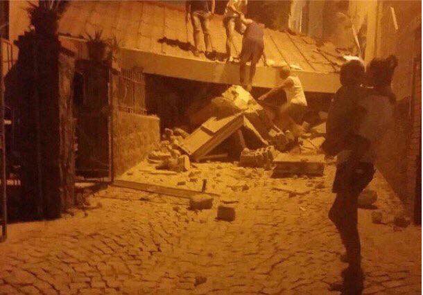
Update 09:56 UTC: Villages in mountainous areas are often hard to reach after an earthquake. This image shows why. It can often take many days to clear roads of landslides debris.
Update 08:54 UTC:
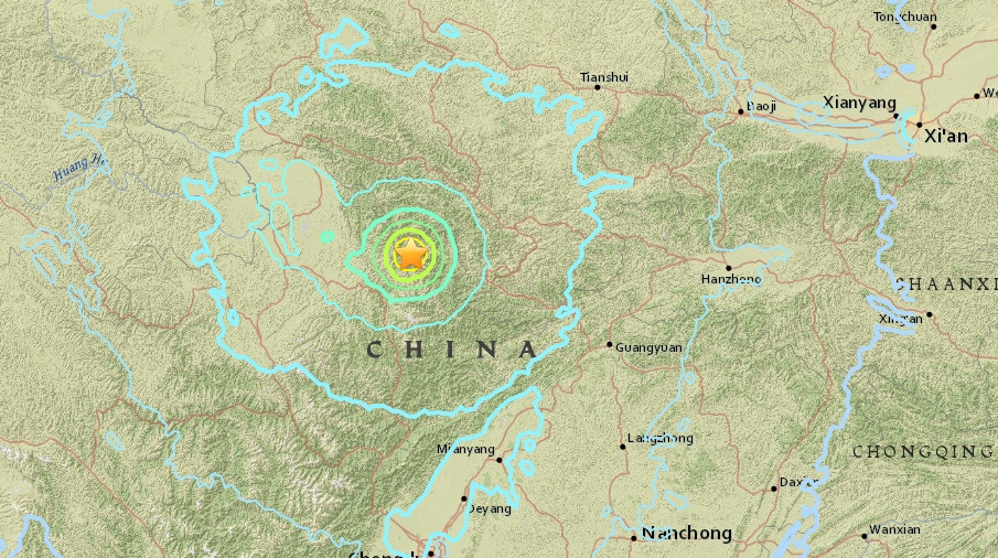
This fault system, created by the collision of the Indian and Eurasian plates, is known to undergo
a slip rate of several millimeters per year and is one of the primary sources of seismic hazards in China. In the past century, several significant earthquakes occurred at the eastern end of this major continental strike-slip fault system. Among them were the magnitude-7.3 Diexi earthquake in 1933, which resulted in a death toll of nearly 9,300, and the magnitude-7.2 Songpan earthquake in 1976, both of which occurred near the epicenter of yesterday’s earthquake.
Although the earthquake that had occurred last evening was not as strong as these earlier events, it may also trigger some hazardous landslides in the region close to the epicenter.
Although China is located far from the major fault at the Indo-Eurasian plate boundary - the Himalayan Frontal Thrust - the powerful northward tectonic collision between the Indian and the Eurasian plates created a wide deformation zone within inner China. This is evident from the long history of earthquakes written into Chinese literature, including the destructive 2008 Wenchuan earthquake.
(Source: Singapore earth observatory).
Image courtesy USGS Artist's conception of the 6,000-km-plus northward journey of the "India" landmass (Indian Plate) before its collision with Asia (Eurasian Plate).
Update 08:08 UTC: At this moment more than 1000 tourists are still waiting to be evacuated from the earthquake zone. Many roads are still blocked due to landslides and are only gradually opened.
Update 08:04 UTC: New preliminary toll :
- 19 fatalities
- 217 people injured
- 20,000 people displaced
- 30,000 people evacuated