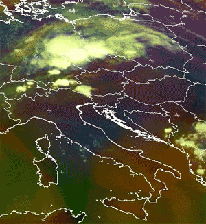
The Spanish Plume is, by definition, an incident where warm air is lifted from the Spanish plateau ahead of an eastward-moving upper-level trough over the Bay of Biscay. In conventional upper-air and surface synoptic maps this incident can typically be illustrated as follows:
Low-level flow within Spanish plume. Open red arrow: the warm conveyor belt; open blue arrow: the dry intrusion. Area within red solid line: a typical area of high ThetaE values at 850 hPa. Black solid lines: surface isobars. Classical surface fronts also shown
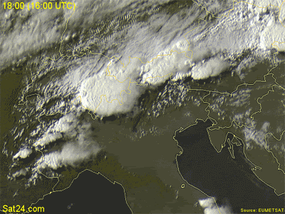
The strong heating of air near the surface over the Spanish plateau causes convergence and ascent, enhanced by the dynamical forcing of the eastwards moving upper-level trough. This leads to the formation of a thermal low over the Iberian Peninsula. The thermal low sets up a low-level cyclonic flow over the peninsula (Phase A), which includes the formation of a convergence line over the plateau. This induces the advection of cooler air and descending motion across the coastal areas of the Iberian Peninsula and western France from the Bay of Biscay and warm air advection over the interior of the peninsula. Therefore in the area east of the surface trough the advection of warm air enhances the ascents within the warm plume (Phase B), further accelerating decrease of surface pressure.
The approaching Cold Front has an important role in the further development of the Spanish Plume in two ways:
1. As the front approaches the continent, the existing thermal gradient intensifies. This causes the strengthening of winds ahead of the upper-level trough and wind adjustment in the lower levels; consequently an intensification of warm air advection and ascent within the warm plume ahead of the surface trough takes place (Phase C).
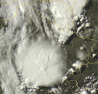
2. The possible over-running of cold air at upper levels from behind the front, and further destabilization of the already highly unstable air within the Spanish Plume, can trigger deep convection.


")
 enfim ja deu para matar saudades.