Cyclone Sidr Grows Into Fierce Category 3 Storm
Já é de categoria 4

copyright U.S Navy
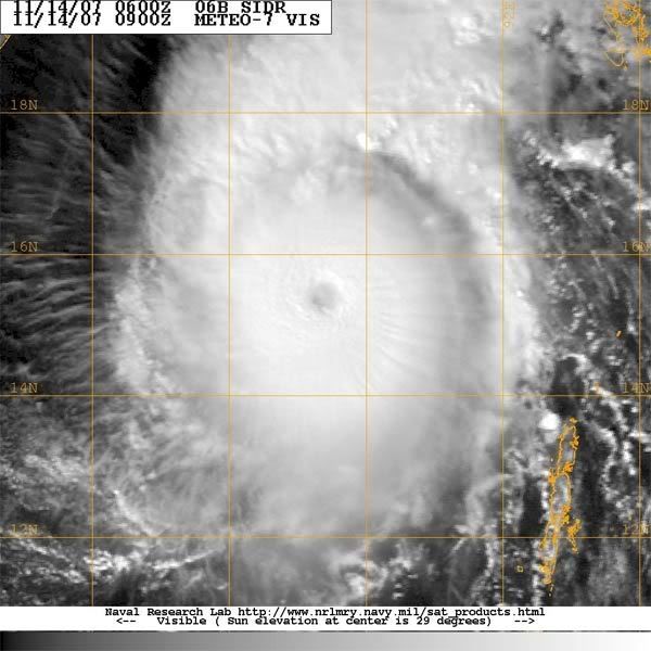
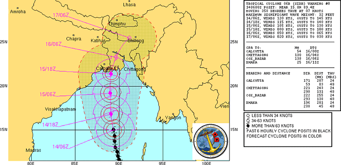
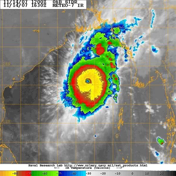
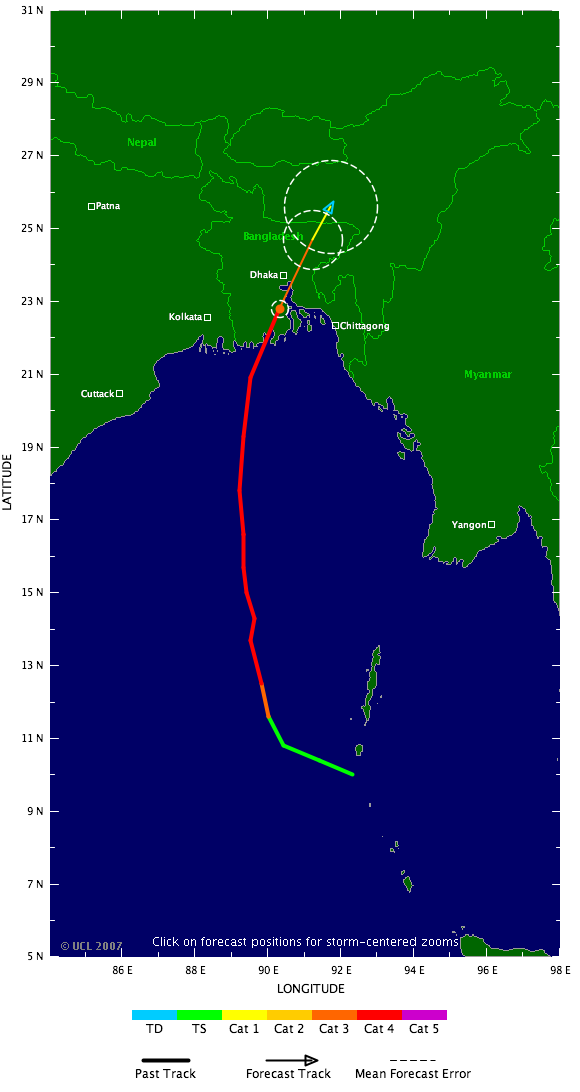
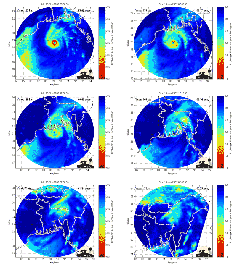
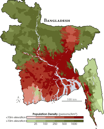
Cyclone Sidr, which is a hurricane of at least Category 3 strength, could track toward Bangladesh and repeat episodes of destruction that have witnessed hundreds of thousands dying from single strong storms. It already packs winds of 120 mph, having intensified rapidly in the past 12 hours -- but the forecast is mixed for the next several days, with some projections predicting a weakening, and some a strengthening.
As our Storm Pundit, Chris Mooney, points out, it has been hard to know exactly how strong, or where the storm is headed, because neither the Indian Meteorology Department nor the U.S. Navy are making frequent updates about the progress of the storm.
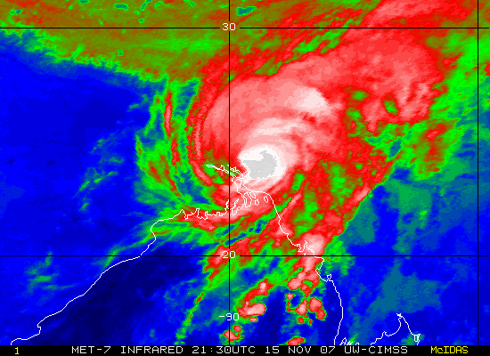
The last word, however, just out from the Joint Typhoon Warning Center, was that the storm had rapidly gained in strength, and that it still has the potential to gain additional strength over warm waters before making landfall as a strong hurricane. Another 10 mph gain and it would be a Category 4 monster storm.
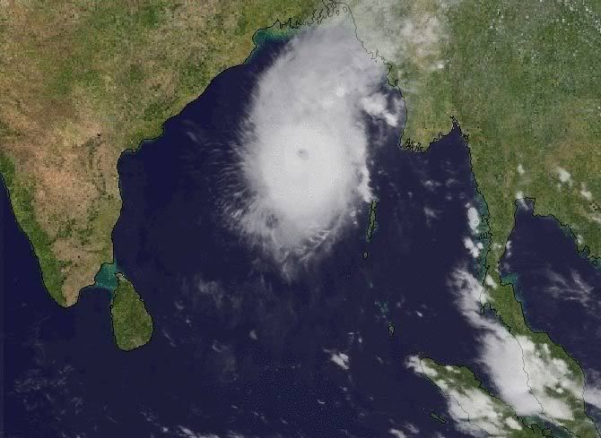
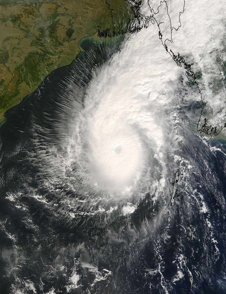
The image at right is a NASA satellite image resembling a photograph, taken by the Moderate Resolution Imaging Spectroradiometer (MODIS) on NASA’s Terra satellite. The Nov. 12 image shows "the storm’s swirling clouds straddling the center of the Bay of Bengal with the eastern shores of Sri Lanka and India forming the left edge of the image.
"At the time that this image was taken, Sidr was relatively small, with sustained winds estimated at 60 miles per hour, the equivalent of an Atlantic tropical storm," according to NASA. "Despite its small size, Sidr is well-formed with a dark spot near the center where an eye may be developing surrounded by tight bands of clouds."
TheDailyGreen
Já é de categoria 4

copyright U.S Navy
Cyclone Sidr, which is a hurricane of at least Category 3 strength, could track toward Bangladesh and repeat episodes of destruction that have witnessed hundreds of thousands dying from single strong storms. It already packs winds of 120 mph, having intensified rapidly in the past 12 hours -- but the forecast is mixed for the next several days, with some projections predicting a weakening, and some a strengthening.
As our Storm Pundit, Chris Mooney, points out, it has been hard to know exactly how strong, or where the storm is headed, because neither the Indian Meteorology Department nor the U.S. Navy are making frequent updates about the progress of the storm.
The last word, however, just out from the Joint Typhoon Warning Center, was that the storm had rapidly gained in strength, and that it still has the potential to gain additional strength over warm waters before making landfall as a strong hurricane. Another 10 mph gain and it would be a Category 4 monster storm.
The image at right is a NASA satellite image resembling a photograph, taken by the Moderate Resolution Imaging Spectroradiometer (MODIS) on NASA’s Terra satellite. The Nov. 12 image shows "the storm’s swirling clouds straddling the center of the Bay of Bengal with the eastern shores of Sri Lanka and India forming the left edge of the image.
"At the time that this image was taken, Sidr was relatively small, with sustained winds estimated at 60 miles per hour, the equivalent of an Atlantic tropical storm," according to NASA. "Despite its small size, Sidr is well-formed with a dark spot near the center where an eye may be developing surrounded by tight bands of clouds."
TheDailyGreen


