Re: Epoca Furações 2007 (Atl. Norte)
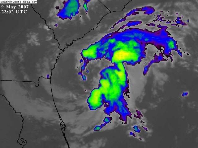
Apesar de ser uma depressão muito desorganizada, aumenta bastante a convectividade em redor do centro, ciclogénese tropical em marcha. O centro neste momento está numa fase hibrida, a começar a transição dum nucleo frio para um quente, mas provavelmente vai-se enfraquecer amanhã antes dessa transição estar concluída.

Satélite + Radar:

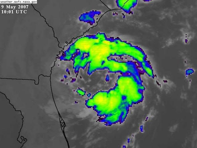
Apesar de ser uma depressão muito desorganizada, aumenta bastante a convectividade em redor do centro, ciclogénese tropical em marcha. O centro neste momento está numa fase hibrida, a começar a transição dum nucleo frio para um quente, mas provavelmente vai-se enfraquecer amanhã antes dessa transição estar concluída.
Cyclone Phase Space diagrams available at the Florida State University web site maintained by Dr. Bob Hart show that the storm has neither a cold nor a warm core, but is a hybrid. The model forecasts call for the storm to remain in this hybrid state until it makes landfall by Thursday morning, somewhere between the Georgia and South Carolina coasts. The storm should gradually decrease in strength, and winds have already dropped considerably from yesterday. Unfortunately, the storm has not acquired enough tropical moisture to be a big rain maker, and its winds are serving to fan fires in southern Georgia and northern Florida. I expect the storm will bring 1-2 inches of rain to South Carolina on Thursday, and lesser amounts to Georgia and northern Florida.
http://www.wunderground.com/blog/JeffMasters/show.html
A subtropical storm has much heavier rains and more organized thunderstorm activity, which typically form a solid band of rainfall 100 miles or more from the center. Today's storm shows no evidence of bands of precipitation forming; the thunderstorm activity is disorganized. If a major organized band of thunderstorms does develop over the next day or two, the NHC could designate this storm as Subtropical Storm Andrea. I am not expecting that to happen, given the marginal SSTs (24-26 C), and significant amount of dry continental air surrounding the storm.

http://www.wunderground.com/blog/JeffMasters/show.html
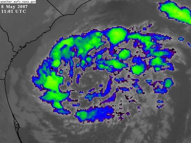
Satélite + Radar:


")