SYNOPSIS
An omega-type upper flow pattern is expected to establish over Europe during the period, with the two corresponding upper cyclones being located over SW Iberia/N Morocco and over the eastern Mediterranean, respectively. Ample upper westerly flow is present N of this configuration over Scandinavia towards western Russia. The low-level pressure field reflects this upper-level pattern, with a large high over central portions of Europe and the central Mediterranean, WAA and cyclonic flow over the SW Mediterranean/Iberia ... and large SFC low complexes over the N Atlantic and Scandinavia.
DISCUSSION
... Iberian Peninsula ...
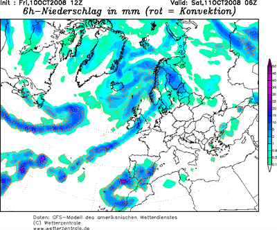
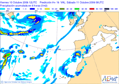
Substantial instability will likely persist amidst plume of warm/moist air spreading northwards E of the SW-European upper low. GFS advertises integrated CAPEs in excess of 3000 kJ/m^2. Deep shear should be maximized in a region including SE Spain and the SW Mediterranean Sea, gradually decreasing towards the NW. In this region, maximum bulk shear is simulated to exceed 35 m/s in the lowest 6 km. LLS should also be maximized over the eastern parts if the peninsula, as well as over the north, with common values in the 10 to 12 m/s range.
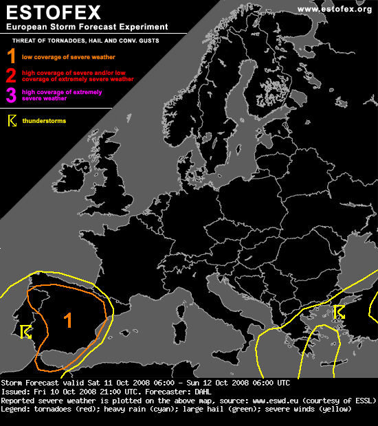
Although the best shear should remain somewhat offset from the deepest/richest instability, deep convection will likely be sustained in the strongly-sheared regime, potentially evolving into well-organized thunderstorms, including (bowing) line segments and supercells. Strong LLS and low LCL heights suggest that tornadoes will be possible, along with damaging wind gusts and large hail. Given weak capping and sustained ascent, the storms will likely last well into the evening/night.
It seems that the maximum DLS will be somewhat displaced from most favorable LLS, also, the convection seems to be struggling somewhat to develop/become organized as of late Friday evening. Will thus only issue a level-one threat at this time, but an upgrade may become necessary on Saturday.


 acho que a situação tem um caracter bastante severo, essencialmente para o Algarve.
 a esta hora.
 em uma hora apenas desce 0,1ºC